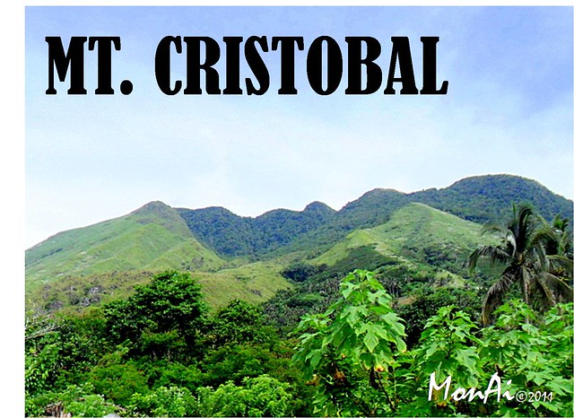
Mt. Cristobal also known as "Devil's Mountain", one of the famous in the Philippine mountains for its "W" shape, creepy secrets and mysteries. Of course it's exciting for mountaineers if it's true, isn't it?
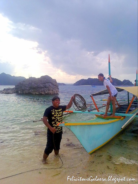
After riding a bus from Buendia, we went to waiting shed area and rented a jeep from San Pablo to the jump-off, Sta. Lucia Dolores, Quezon. In our trip we saw other hikers riding tricycle, of course I just thought then, "we could save money if we did the same?" Hmm. . But when reached the town of kinabuhayan, our driver said that they should ride again tricycle (I have no idea how much) from the town, their vehicle can't withstand the uphill road up to the jump-off anymore. The road is so steep even our jeep run so slow. We're like climbing a mountain using a vehicle.
TRAIL
Trail is good, you can't get lost up to the campsite (camp 1&2) (differ from campsite to peak which is kinda tricky) In the trail, you have to be cautious due slippery roots upon stepping on it, I think it's better if you just walk on dirt instead. Moreover, I can say that trail here is clean, I haven't notice any junk around. :)
ASCEND
 |
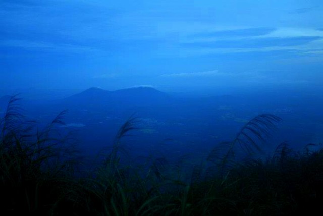
| From this point, neighborhood down from jump off can be seen here. Mt. Banahaw on background. |
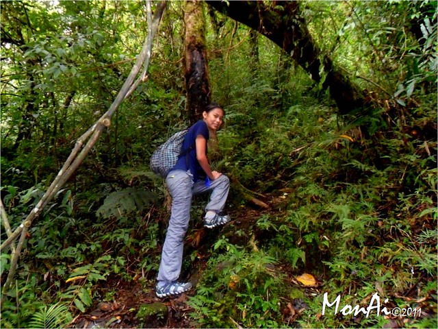
I just noticed that the 3/4 of the trail coming from the jump-off was kinda humid, you can barely felt air, unless you wait for a chance air to blew but once you reached the last 1/4, you would definitely feel the cold air.
According to our guide the trail was made by the NPA's before (impressing) and used it now as approved trail of DENR. This is amazing for adventurers due to variety of the trail itself, you have to cross between huge rocks, huge tree, a cliff and slippery slopes.
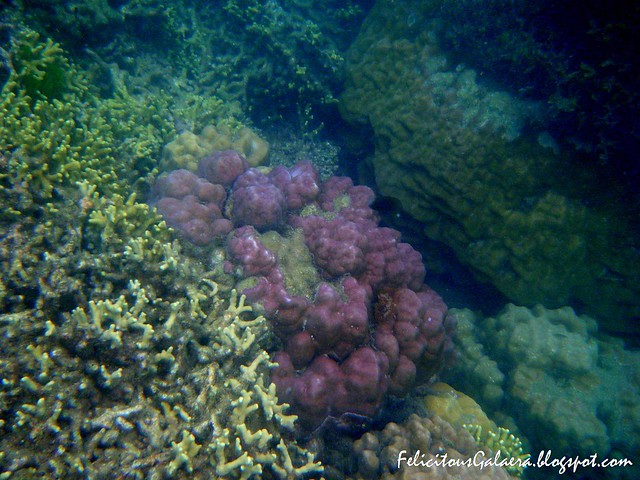
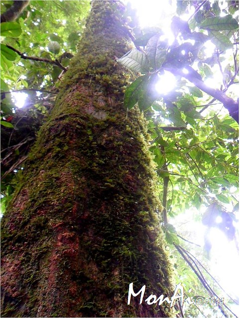
Well I can't just help but to take a closer look on the the mountain's livings.
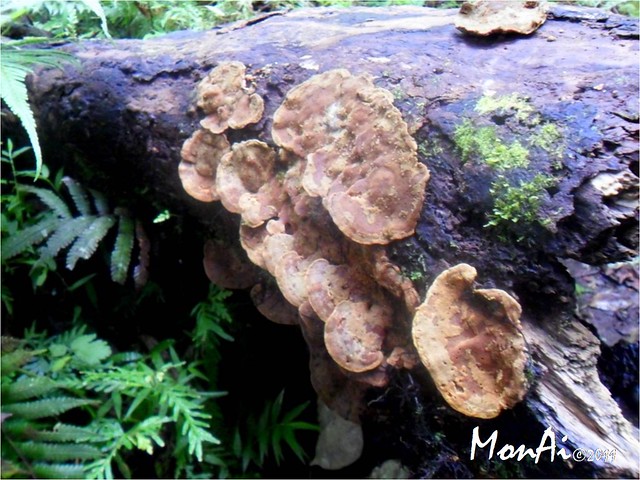
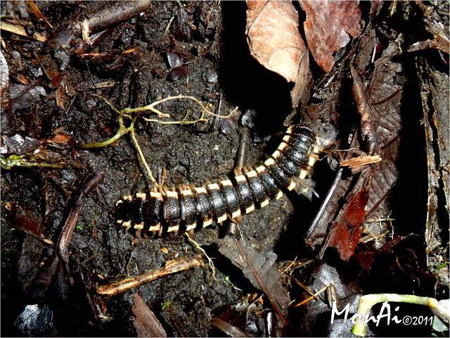
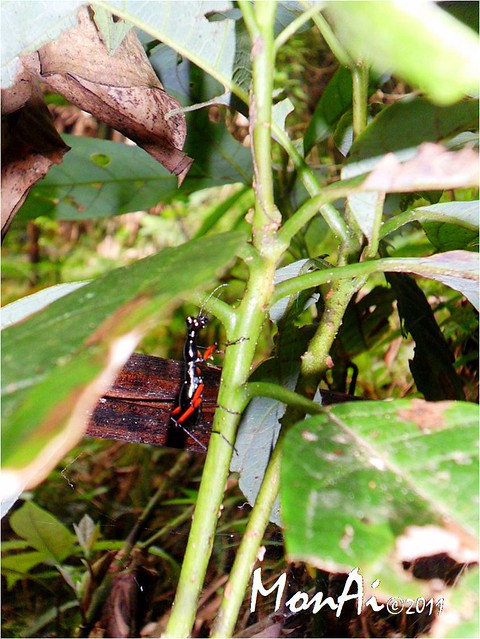
I took this pictures along the trail going to the campsite. The first one is a fungi found on dead trunk, "Bleeding Broadleaf Crust (Stereum rugosum)", source www.treestress.com; while the second is a Millipede (Harpaphe haydeniana, a species from the Order Polydesmida, source: Wikipedia), I saw it along the way going to campsite until the next day we decent, I'm not sure if it's the first one I saw, but I can say I saw it on the same spot.
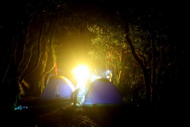
CAMPSITE
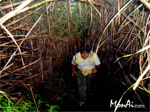
After passing the forested area, we went to a trail dense with cogon grass. It was like passing on a grass tunnel, so basically our neck was bent down all the time until we reached the end, the summit.
BTW, be aware on some cogon sharp cuttings (cut to form the tunnel) that might poke you face/body. If you're just alone, it's a little hard to get there esp. if the trail is not well formed. It's better if you do it after the sky lightens up.
AT THE PEAK
Upon reaching the summit, you will surely notice that it's just a portion of the peak's view about 1/4 and most are covered by cogon grass, but on the other hand, you'll definitely appreciate the scene. Great backdrop though. :)
 |
| Summit shots :) |
DESCENT
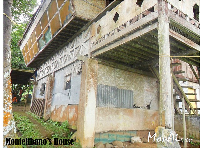
After breaking camp and took pictures we started our descent. Compared to the ascent which was almost 5 hours trek from Montelibano's house to the campsite, it just took us then 3 hours to return. It was the same trail we took on the first day so basically we can't get lost even we're left behind.
Same trail, same trees, same creatures (like what I mentioned millipede above) but along the way I saw this black ant-lik- insect with huge eyes and red tint on it's appendages. Haha really looks strange for me.
ITINERARY
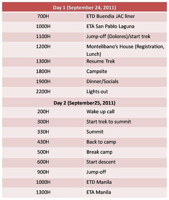
I think Mt. Cristobal adventure is really a 2-day climb, but if you are an expert and can accomplish it from morning till dawn, I think it's possible.. :)
Same trail, same trees, same creatures (like what I mentioned millipede above) but along the way I saw this black ant-lik- insect with huge eyes and red tint on it's appendages. Haha really looks strange for me.
ITINERARY
I think Mt. Cristobal adventure is really a 2-day climb, but if you are an expert and can accomplish it from morning till dawn, I think it's possible.. :)
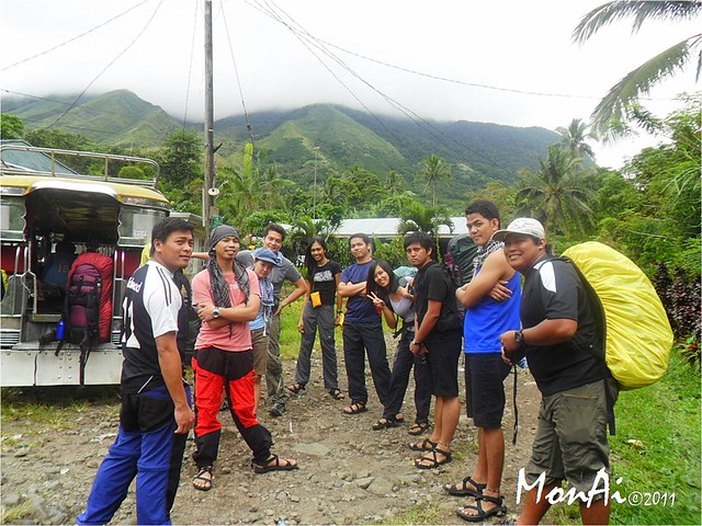
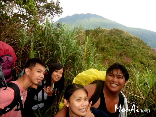
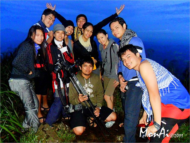
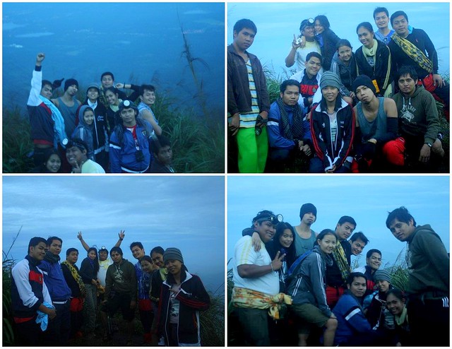
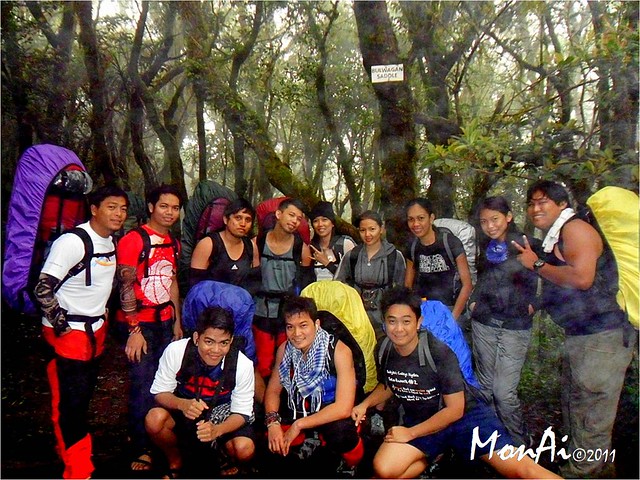
MOUNTAINEERS, one foggy morning at Bulwagan Saddle (left to right standing) Jay Adrian Evidente, Jeffrey Inovero, Ryhan Carascal, John Vincent Balingit, Jasmin Balingit, Julie, April Joie Ramirez, Aime Maranan(me), Raymond Rotairo(bf), (sitting) Michael Angelo Halog, Mikel Arcinue and Karl Kevin Hizon
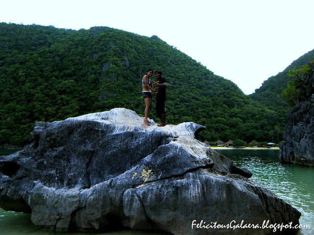
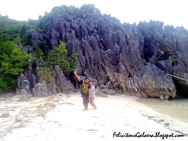
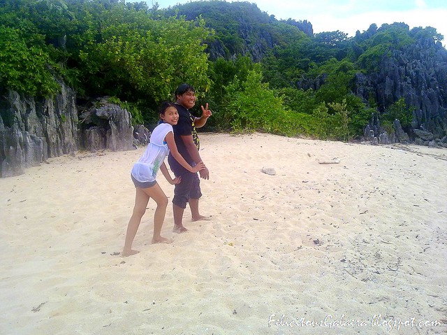
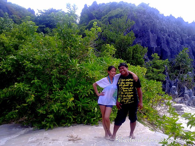
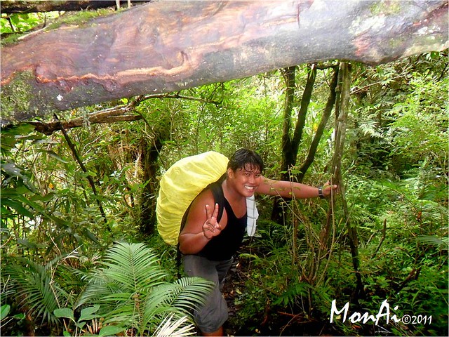
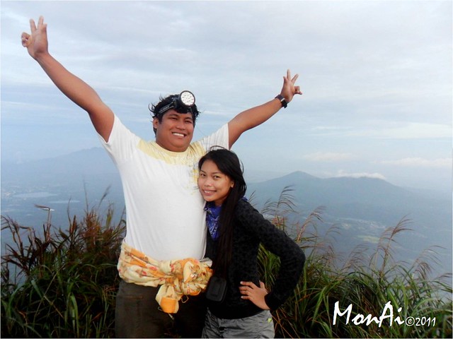 Momon and Me. Mt. Cristobal climb happened last September 24-25, 2011 (Saturday and Sunday), our 3rd mountain since April 2011.
**Thanks to Nash our climb guide and Manong driver for keeping us safe to and from jump-off and to our other side trips. Acknowledgement to Ryhan Carascal for other photos exhibited in this post. Thanks :)
CHECKLIST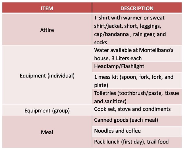
CHECKLIST
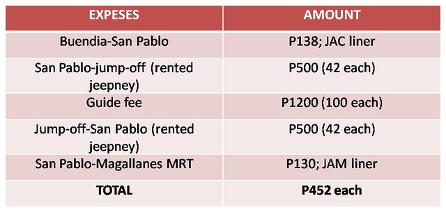
BUDGET (12 person group)
Momon and Me. Mt. Cristobal climb happened last September 24-25, 2011 (Saturday and Sunday), our 3rd mountain since April 2011.